|
Cherokee Census of 1835
| "And be it further enacted, That if, upon any of the lands now occupied by the Indians, and to be exchanged for, there should be such improvements as add value to the land claimed by any individual or individuals of such tribes or nations, it shall and may be lawful for the President to cause such value to be ascertained by appraisement or otherwise, and to cause such ascertained value to be paid to the person or persons rightfully claiming such improvements."1 |
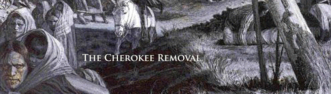
The Cherokee census of 1835 was in part the result of this provision of the Indian Removal Act of 1830. The U.S. government was required to pay for improvements on Indian land. We know, therefore, about the number of farms, mills, houses and other types of improvements the Cherokees made. And as a result, we have a perspective on Cherokee life beyond that provided by the historian's more traditional sources. In addition to the census data two other layers have been added to the My World Cherokee map - Georgia Gold Mining Regions and Missions - to add more depth to the picture provided by the census alone.
|
An Example to Get You Started
Moravians established the first Christian missions and schools for the Cherokee in 1800. Over the next two decades they were joined by the American Board of Commissioners for Foreign Missions (largely Presbyterians and Congregationalists) along with Methodists and Baptists. The aim of these missionary efforts was to "civilize" the Cherokee through Christian education.
Open your GIS software and the Cherokee project file. You will need to make sure that the Census, Missions and Tanner Map layers are open
The missions you see in the map are those in existence at the time of the removal. They were near existing roads and where the Cherokee had relatively easy access. What percentage of the Cherokee population lived within 5 miles of a mission?
|
My World
|
ArcGIS
|
| • Click on the Analyze button and choose By distance. Complete the form as indicated below.
• Click OK
|
• Select Selection >> Select by Location from the main menu.
• Complete the form as pictured below:
• Click OK.
|
The new map highlights the selected households.
You can see in the table that 39 of 101 records were selected. That is, approximately 40% of the Cherokee households were within 5 miles of a mission at the time of the removal in 1835.
As you have learned gold was discovered in northern Georgia in 1828 and mining claims spread into Cherokee territory. Where were the mining regions in relation to the Cherokee population?
|