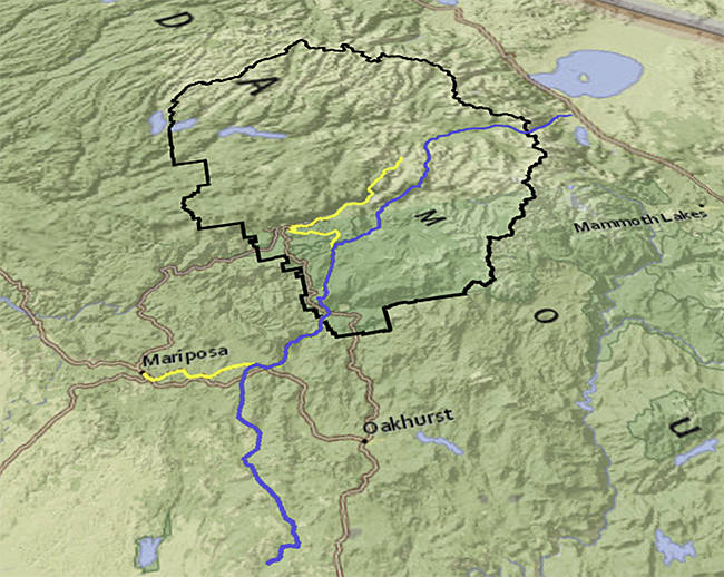
2) The entry of Major Savage's group into Yosemite Valley was recorded in the journal of the company's doctor, Lafayette H. Bunnell. The doctor described the company's descent into Yosemite Valley down the Pohono Trail, opposite El Capitan. You can use the available link beneath the map to view Thomas Hill Painting of the sight that Dr. Bunnell described. Imagine that you were part of the first company of Europeans to descend into Yosemite Valley. Use the various map tools, the Bunnell journal, and Hill's painting and write your own description of the descent from the rim of Yosemite Valley to the valley floor.
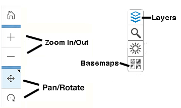
3) The second expedition into Yosemite during the Mariposa Indian Wars was led by Captain John Bowling. Boling's group entered the valley to find that the Yosemite Indians had fled to the northeast across the Sierras. Open the Yosemite file and zoom in on the map of the park. Display the Mariposa Indian War layer and make sure that the other trail layers are off. Use the link tool and read Captain Boling's report of his pursuit of the native group from Yosemite Valley to Tenaya Lake.
Use the map and write your own short report describing the route up out of valley to the lake. Make sure that you include descriptions of the terrain, elevation gain, and distances involved. Remember, you can turn the topographic map on and off and use the map controls to move across the Yosemite’s terrain following Captain Bolling.
4) Today tourists enter Yosemite Valley by car or bus where formerly they came by horse drawn stage and before that on horseback or on foot. Display the Early Tourist Routes layer and click the Early Tourist Route link to read James M. Hutchings’ description of the first tourist party he led into Yosemite Valley along the Coulterville Road through Crane Flat and down the into the valley in 1859.
Hutchins says that the party rode nine miles from Crane Flat before coming to the “Stand-Point of Silence.” Zoom in some on the Crane Flat area and measure along the route from Crane Flat towards Yosemite Valley to the point on the rim of the canyon where you would first have a view up the valley. What is the approximate distance Hutchins’ party traveled from Crane Flat to this point?
Use the map and describe the descent from the “Stand-Point of Silence” to the valley floor.
5) You learned about using the high meadows surrounding Yosemite Valley as summer range for sheep in reading about John Muir’s first summer in the Sierras. By the 1890s the practice posed a serious threat to the Yosemite watershed. Calvary units operating out of headquarters in Wawona and from patrol stations throughout the Yosemite region tried to eliminate the practice. Display the Calvary Trails layer. Click the Calvary Routes link to open the May 5, 1898 article from the New York Times describing the situation.
Imagine that troops from the 4th Calvary caught up with you and your sheep in Virginia Canyon. You are led west out of the park on the trail north of the Tuolumne River Canyon and your sheep north out of the park where they are turned loose. How far back across the park do you have to travel in the effort to gather your flock? How long do you suppose the trip would take on foot?
6) The first trip across the Sierras by European explorers was led by Joseph Walker and described by Zenias Leonard, a member of the party. The Joseph Walker layer is a “best guess” about the path these explorers took based on the limited, and sometimes contradictory clues, in Leonard’s text. Follow along the Walker route on the map using the controls available. Assuming that the map is reasonably accurate explain where the Walker party would most likely have seen into the Merced River Canyon of which Yosemite Valley is a part.