Each of the maps linked through the thumbnail versions above will open in a new window for you to view. Use the zoom buttons (  ) in the upper left to zoom in and out on the map. Drag the map in the desired direction using the mouse to view a different portion of the map displayed.
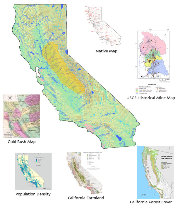
1) The Mother Lode region is highlighted in gold on the map of California. Open the Native Map. Identify the native tribes that lived in the Mother Lode prior to the gold rush by tribal name and the modern counties that they occupied.
2) Zoom in on El Dorado County in the Gold Rush Map and locate the Over Land Emigrant Road. Describe its route from the point at which it enters California to its end.
3) Examine the USGS Historical Mine Map. Which of the colored river systems has the greatest concentration of gold mines? of placer mines?
4) Sacramento is in the Central Valley of California east of San Francisco. Open the California Forest Cover map and zoom in on the Mother Lode area east of Sacramento. Describe the predominate forest types you would encounter moving east from Sacramento up into the Sierra Nevada Mountains towards Nevada.
4) Study the California Farmland map and compare the significance of the Mother Lode region to other areas in California in terms of agriculture.
5) Describe the population density of the Mother Lode in relation to the city of Sacramento and to the major rivers of the region.